
Land of the Little Rivers: How Water Shaped Perquimans

In this post
The first time you cross the US 17 Business bridge into the town of Hertford, you feel it before you see it. The deck hums under your tires, the river glints through the trusses on both sides, and you realize you are driving across water that has been carrying people here for over three hundred years1.
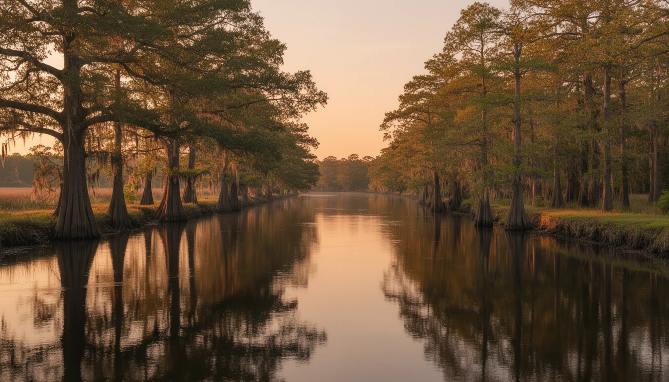
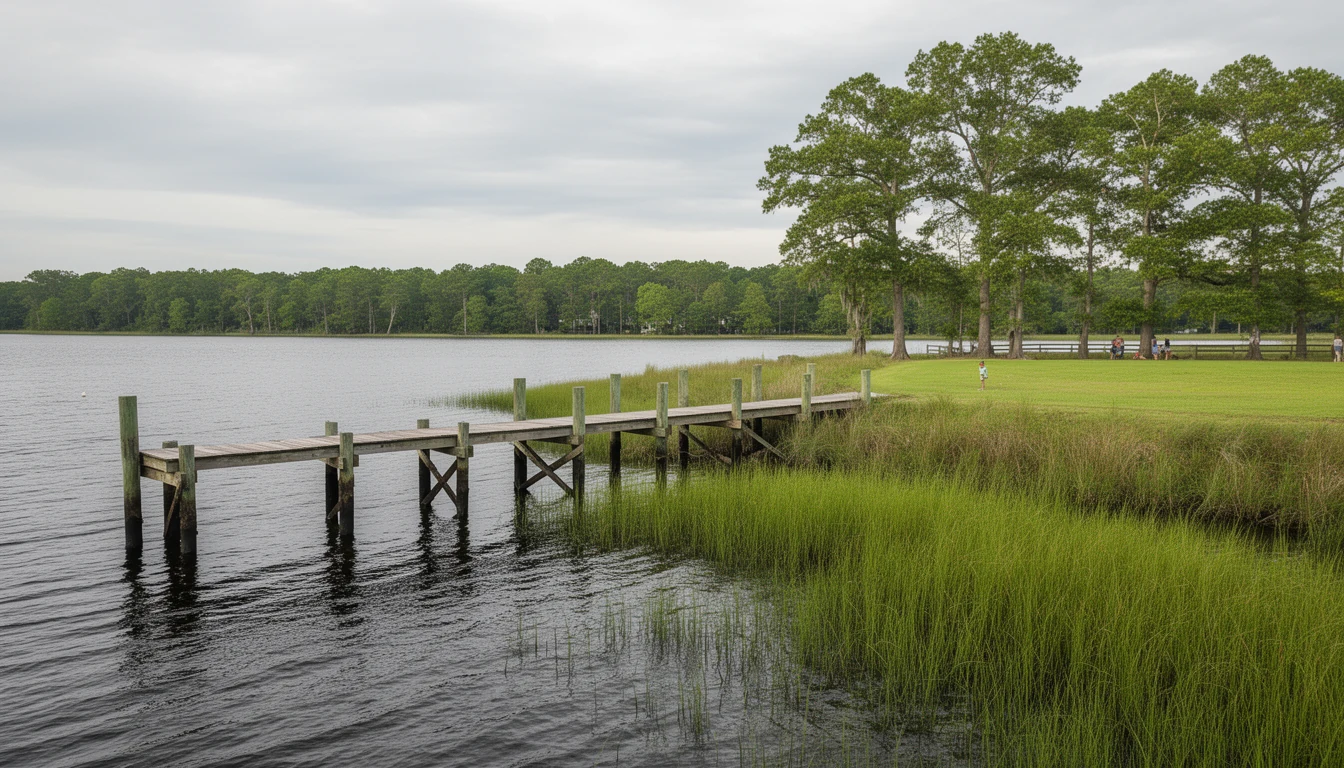
Perquimans County calls itself the land of the little rivers, and the name fits. The Perquimans runs down the middle of the county into the Albemarle Sound, the Yeopim borders the west, and the Little River anchors the east. The Census Bureau counts 81.759 square miles of water against 247.173 of land2. Nearly a quarter of the county is water, and every acre of it has a story.
The Rivers That Started It
This was one of the original precincts of Albemarle County, the first county the Lords Proprietor created in 16633. Settlers came south from Virginia in the 1660s, and they did something unusual: they bought the land from the Yeopim people instead of taking it4. George Durant, whose 1662 deed is often cited as the first recorded land transaction in North Carolina, signed his at a spot on the Perquimans.
That practice set the county’s character. Quakers arrived early, and their faith shaped how land changed hands here. William Edmundson held the colony’s first religious services in the spring of 16725. By 1680, monthly meetings gathered in homes along the Little River, the Perquimans, and Yeopim Creek6. Because Quakers bought rather than seized land, they did not immediately control the best tobacco ground, so early Perquimans farms leaned on wheat and corn7. The county’s oldest neighborhoods, Belvidere and Old Neck, still trace to those meeting-house communities.
Ferries Before Bridges
For the first century, the river was a road, not a barrier. In 1715 the county court ordered a ferry across the Perquimans from Mrs. Anne Wilson’s landing to James Thickpenny’s side, and told her no one else could run a boat within five miles above or below that spot8. Ferries carried court-goers, muster troops, and freight until 1798, when the town of Hertford got its first bridge: twenty feet wide, floating on empty whiskey barrels, and privately owned. The county bought it for $5,786 and abolished the tolls9.
The Swing Bridge That Still Opens
The famous S-shaped swing bridge came later. NCDOT calls it Bridge No. 8, built in 1929 (most news coverage says 1928)10. By 2015 its sufficiency rating had fallen to 3 out of 100. The old span came out in July 2021, and the bridge crossing the river today is a 2022 replacement built to honor it: a truss swing span, Oregon rails, pedestrian lights matching the town’s streetlights, and the original bridge plaque reused11.
And it still opens. Federal regulation 33 CFR 117.835 requires the draw to open on signal from 8 a.m. to midnight April through September, and 10 a.m. to 10 p.m. October through March12. Commuters learn the rhythm fast. A boat captain tapping the horn is part of the morning.
What the Water Still Means for Buyers
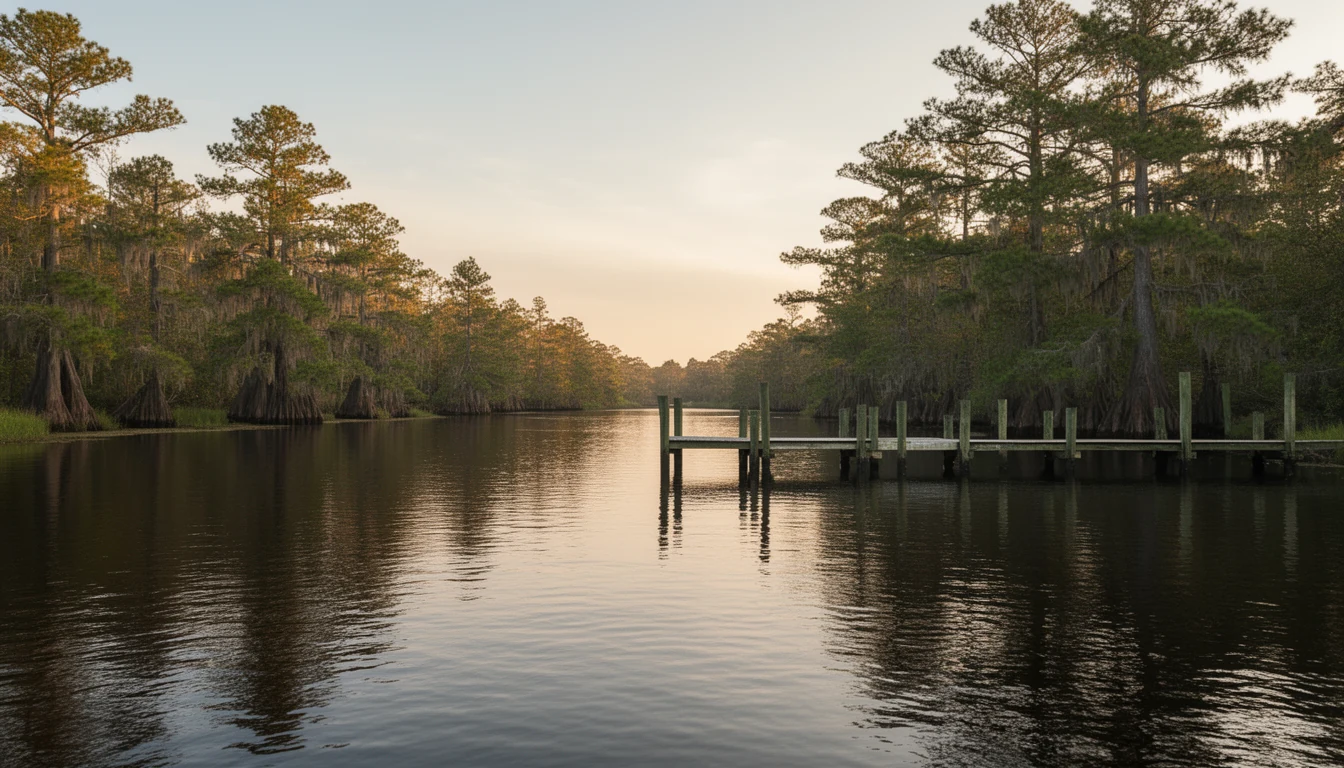
The river behaves differently than most buyers expect. It is wind-driven, not tidal: NOAA’s Coast Pilot 4 says the rise and fall depends on the direction of the winds, and the river water is fresh at the town of Hertford, turning brackish downstream13. A hard northeast blow pushes water up the river; a westerly pulls it out. Depth is real but unmaintained, about 8.8 feet to town, with no federal dredging project behind it14.
That water is also why lots here cost a fraction of comparable frontage an hour east in Currituck or Dare15. Perquimans is one of North Carolina’s twenty CAMA counties, so the 75-foot estuarine shoreline buffer and the 30 percent impervious-surface cap apply to most waterfront builds16. The rules are specific, but so is the payoff: nineteen National Register listings, five historic districts, and a river you can actually use17.
The Bottom Line
You trade the conveniences to live here. No hospital in the county, no big-box stores, and a drive to Elizabeth City or Greenville for most errands. In exchange, you get a river that still works like it did in 1715, a bridge that still opens on signal, and a waterfront market where the history is not a slogan, it is the lot itself.
Footnotes
-
Coastal Review: “Perquimans County offers a quieter trip back in time” (coastalreview.org, Oct 2021) ↩
-
US Census Bureau, 2024 Gazetteer Files: county land/water area ↩
-
NCpedia: “Perquimans County” (ncpedia.org/geography/perquimans); David Leroy Corbitt’s county history traces the precinct to as early as 1668 ↩
-
Coastal Review: Perquimans settlement history (Oct 2021) ↩
-
NCpedia: “Quakers” (ncpedia.org/quakers); William Edmundson visited the Albemarle region in March 1672 ↩
-
A Heron’s Garden: “The Perquimans River” (aheronsgarden.com) ↩
-
Coastal Review: Quaker land-buying practice and early wheat/corn agriculture (Oct 2021) ↩
-
Perquimans County court records via Carolana.com: Hertford, NC town history (1715 ferry order) ↩
-
Carolana.com: Hertford, NC: 1798 whiskey-barrel bridge, county purchase for $5,786, tolls abolished ↩
-
NCDOT State FONSI for TIP project R-4467 (January 2018); NCDOT Historic Bridges program ↩
-
Section 106 memorandum of agreement, November 2017; NCDOT / Perquimans County Buyer’s Brief Ch. 2 ↩
-
33 CFR § 117.835: drawbridge operation, US 17 bridge at Hertford, mile 12.0 ↩
-
NOAA, United States Coast Pilot 4, Ch. 4 (edition 19, July 2026) ↩
-
NOAA Coast Pilot 4; Perquimans County Buyer’s Brief Ch. 2 (no Army Corps project on the river) ↩
-
Perquimans County Buyer’s Brief Ch. 2: waterfront price comparison to Currituck/Dare ↩
-
NC DEQ Division of Coastal Management; 15A NCAC 07H .0209 (75-ft AEC, 30% impervious cap) ↩
-
NC State Historic Preservation Office: National Register roster for Perquimans County ↩
Keep reading
Hertford, Winfall, Belvidere: Living in Perquimans County
Perquimans County has two incorporated towns and one Quaker village. How Hertford, Winfall and Belvidere differ in streets, schools, taxes and drive time.
4 Landmarks That Tell Perquimans County's Story
Four places explain Perquimans County: the swing bridge, the 1825 courthouse, the 1730 Newbold-White House, and a Gothic Revival church. Walk all four.
7 Ways to Be a Good Albemarle Shoreline Steward
Seven practical ways Perquimans County shoreline owners protect the Albemarle: the CAMA lines, the 30 percent cap, septics, and slowing the rain.